Maps Teaching Resources for Year 6
- Plus Plan
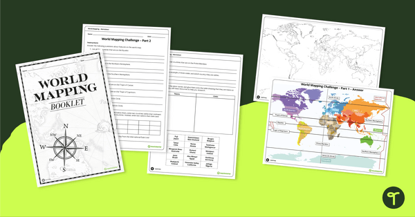
World Mapping Workbook
Develop mapping skills by plotting key features and locations onto a map of the world.
- Plus Plan
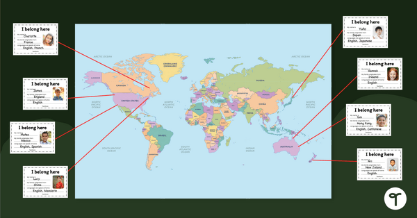
Our Belonging Map Classroom Display
Investigate your students’ heritage with this belonging map to display in the classroom.
- Free Plan
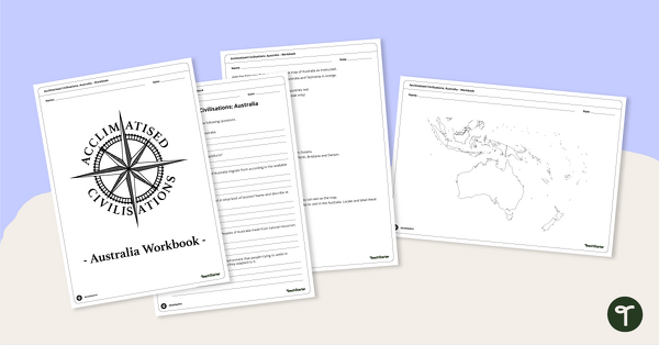
Acclimatised Civilisations: Australia – Workbook
Learn about the physical and human geography of the continent of Australia with this inquiry-based mapping activity.
- Plus Plan
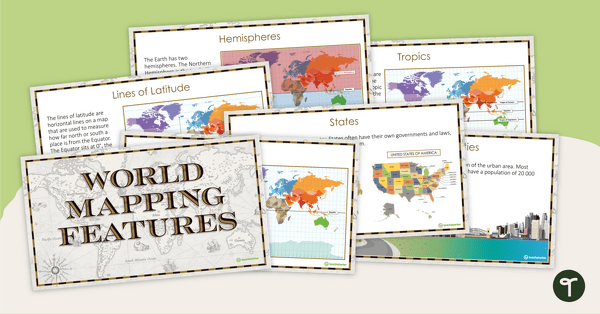
World Mapping Features – Teaching Presentation
Explore the key map features of world maps with this 18-slide PowerPoint presentation.
- Plus Plan
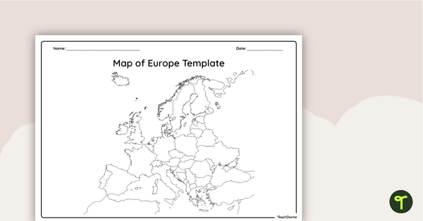
Blank Map of Europe — Template
Record and represent data about the location of significant places with this printable blank map of the continent of Europe.
- Plus Plan
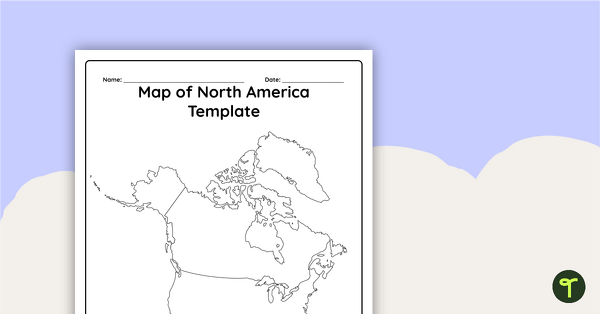
Blank Map of North America - Template
Record and represent data about the location of significant places with this printable blank map of the continent of North America.
- Plus Plan
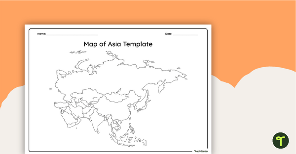
Blank Map of Asia - Template
Record and represent data about the location of significant places with this printable blank map of the continent of Asia.
- Plus Plan
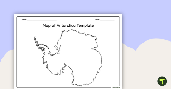
Blank Map of Antarctica - Template
Record and represent data about the location of significant places with this printable blank map of the continent of Antarctica.
- Free Plan
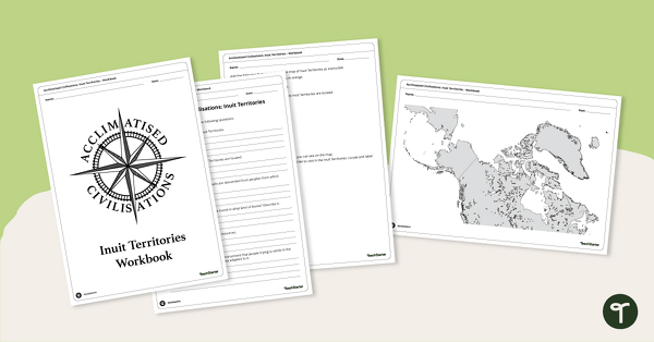
Acclimatised Civilisations: Inuit Territories – Workbook
Learn about the physical and human geography of the Inuit Territories with this inquiry-based mapping activity.
- Plus Plan
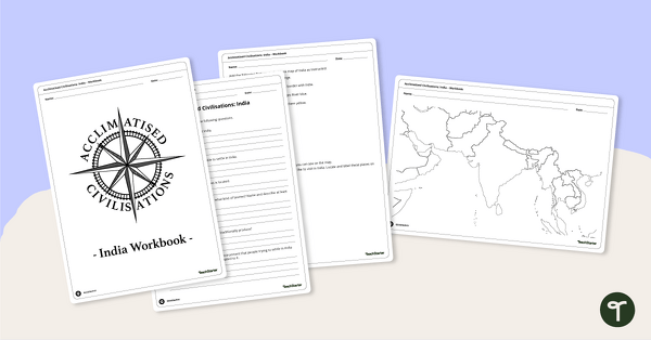
Acclimatised Civilisations: India – Workbook
Learn about the physical and human geography of the continent of India with this inquiry-based mapping activity.
- Plus Plan
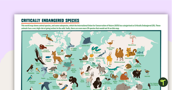
Critically Endangered Species Map – Poster
A poster of the world map featuring 64 species and subspecies that are on the critically endangered list.
- Plus Plan
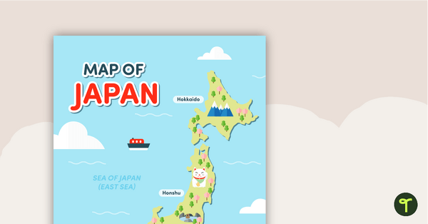
Map of Japan
A map of Japan featuring the names of the main islands and well-known landmarks.
- Plus Plan
Latitude and Longitude Banners
Latitude and longitude banners to display in the classroom when studying geography.
- Plus Plan
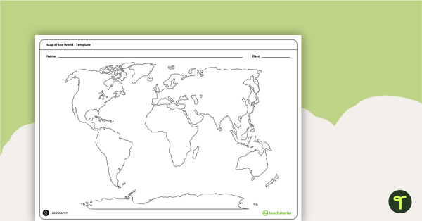
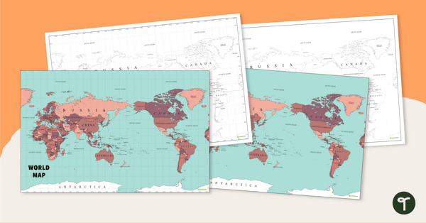
Blank Map of the World - Template
Teach your students about the world’s seven continents and five oceans with this blank map of the world for labelling.
- Free Plan
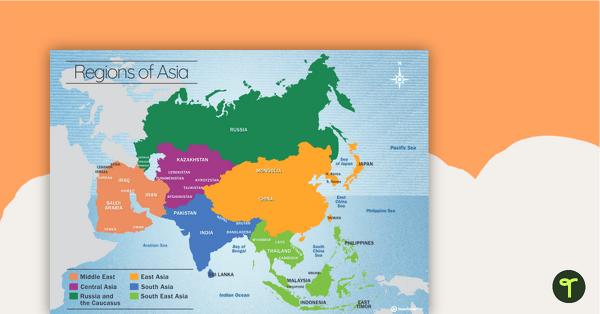
Map of the Regions of Asia
A map showing the layout, regions and major countries of Asia.
- Plus Plan
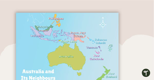
Australia and Its Neighbours - Poster and Labelling Activity
A set of maps and worksheet for students to use when looking at Australia and its neighbours.
- Plus Plan
Australia-Centred World Map
Teach your students about the continents, oceans and countries of the world with this Australia-centred world map.
- Free Plan
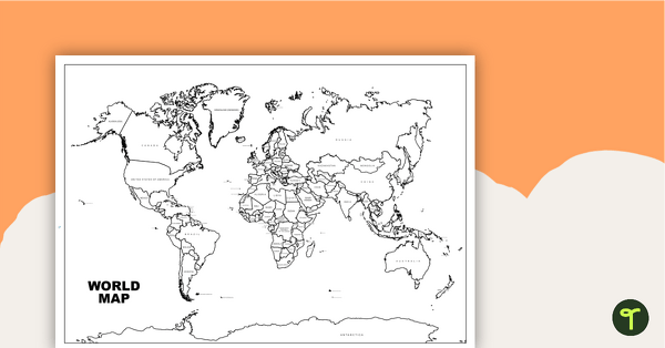
World Map with Countries - Black and White
Teach your students about the continents and countries of the world with this black-and-white world map.
- Plus Plan
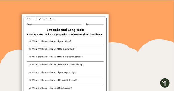
Latitude and Longitude Worksheet
Use this worksheet along with Google Maps to teach your students about longitude and latitude.
- Plus Plan
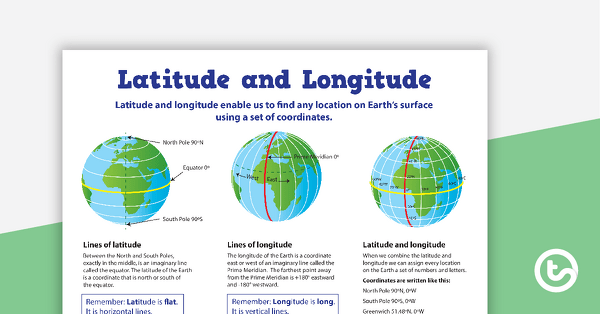
Latitude and Longitude Poster
Use this educational poster when students are learning about geographical coordinates, latitude and longitude.
- Plus Plan
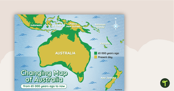
Changing Map of Australia - 65 000 Years Ago to Present Day
A map showing the changes in Australia's coastline from 65 000 years ago to the present day.
- Free Plan
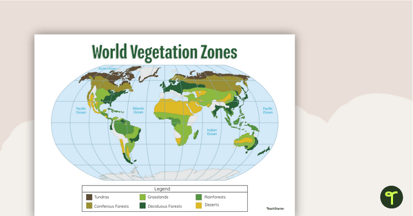
Map of the World's Vegetation Zones
Locate and explore the different biomes of the world with this engaging classroom poster.
- Plus Plan
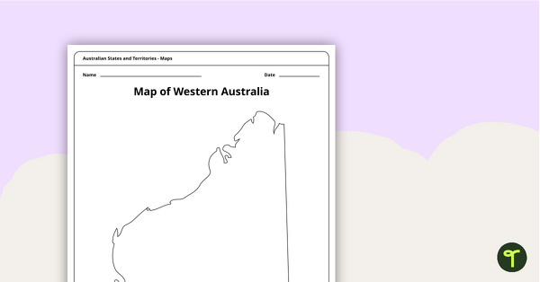
Blank Map of Western Australia - Template
Record and represent data about the location of significant places with this printable blank map of the Australian state of Western Australia.
- Plus Plan
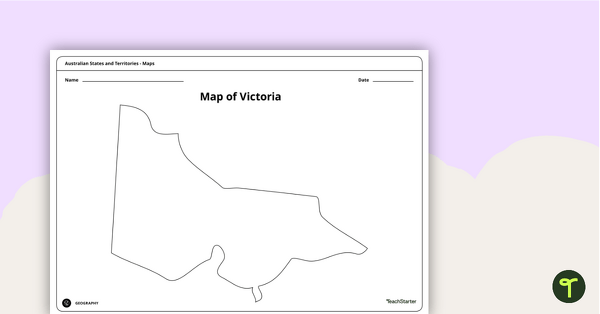
Blank Map of Victoria - Template
Record and represent data about the location of significant places with this printable blank map of the Australian state of Victoria.
- Plus Plan
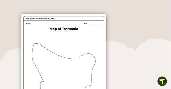
Blank Map of Tasmania Template
Record and represent data about the location of significant places with this printable blank map of the Australian state of Tasmania.
- Plus Plan
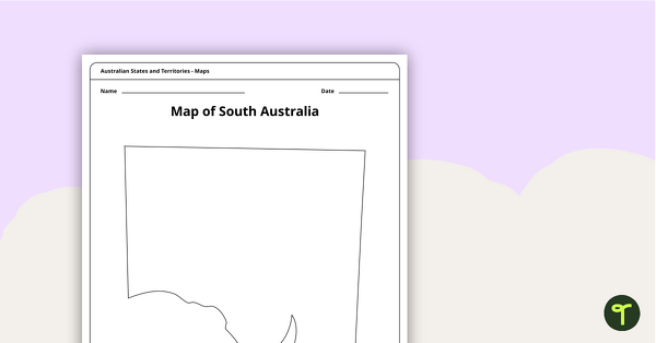
Blank Map of South Australia - Template
Record and represent data about the location of significant places with this printable blank map of the Australian state of South Australia.
- Plus Plan
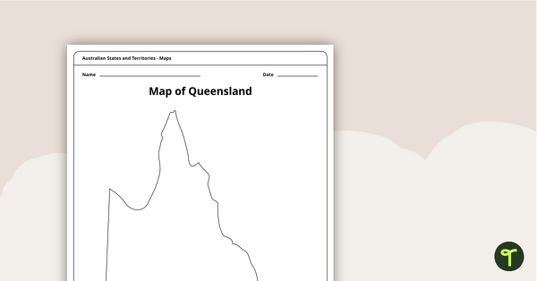
Blank Map of Queensland - Template
Record and represent data about the location of significant places with this printable blank map of the Australian state of Queensland.
- Plus Plan
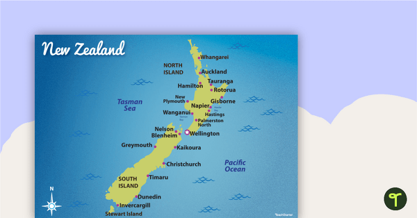
Map of New Zealand
Familiarise your students with Australia’s neighbouring countries with this detailed map of New Zealand.
- Plus Plan
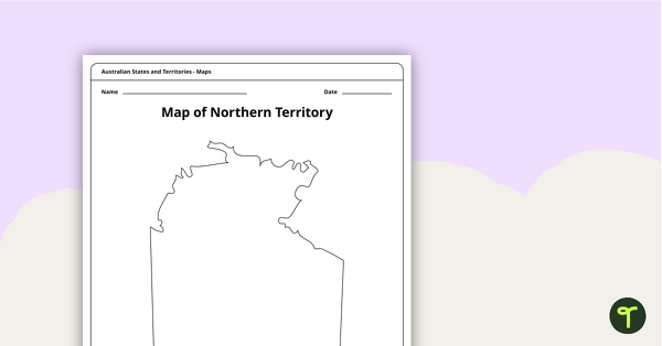
Map of the Northern Territory Template
Record and represent data about the location of significant places with this printable blank map of the Northern Territory.
- Plus Plan
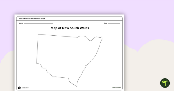
Blank Map of New South Wales - Template
Record and represent data about the location of significant places with this printable blank map of the Australian state of New South Wales.
- Plus Plan
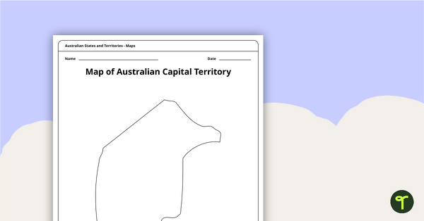
Black Map of the Australian Capital Territory - Template
Record and represent data about the location of significant places with this printable blank map of the Australian Capital Territory.
- Free Plan
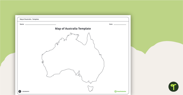
Blank Map of Australia - Template
Record and represent data about the location of significant places with this printable blank map of the continent of Australia.